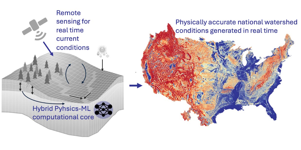
Understanding water availability — and predicting droughts and floods — requires a top-to-bottom accounting of the water cycle from treetops to bedrock. Groundwater supports half the global population, 60% of crop production, and a wide array of ecosystems. Yet, it is so sparsely observed that it cannot be simulated with data-driven statistical or machine-learning approaches. This limitation can be addressed with models incorporating physical processes, which adds great computational costs. We lack high fidelity physically accurate models that capture the entire hydrologic cycle.
We aim to build the first digital twin of the complete terrestrial hydrologic cycle from bedrock to treetops across the United States. Once developed, the model can be continuously updated and improved with new information from remote sensing products and gauge observations. Our digital twin will generate monthly national forecasts in real time daily, and all outputs will be publicly hosted and freely accessible.
